Arrival
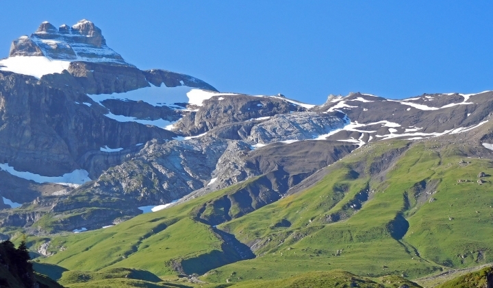
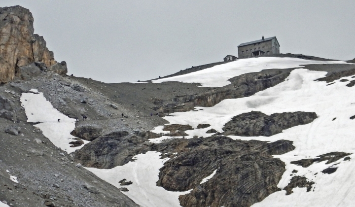
The Bluemlisalp Hut is up on 2840 meters above sea level, between Kandersteg an Kiental in the Bernese Alps at the edge of Jungfrau Aletsch UNESCO world heritage.
From Kandersteg
By road
From Berne direction Thun – Spiez – Kandersteg
From Lucerne direction Brünig – Interlaken – Aeschi bei Spiez – Kandersteg
Parking spaces at the valley station of the Oeschinensee cable car.
By Train
For train connections to Kandersteg, check out SBB.
Hike from Kandersteg
Kandersteg (1200m) - Oeschinensee (1600m) – Bluemlisalp Hut (2840m)
Kandersteg - Oeschinensee - Unteres Bärgli - Oberes Bärgli – Hohtürli – Bluemlisalp Hut
Hiking Time: 5h 30min
with using the Oeschinensee cable car (1682m): 4h 10min
Variation
From the mountain station Oeschinensee direction Heuberge – Oberes Bärgli - Hohtürli – Bluemlisalp Hut
Hiking time: 4h 10min
Tip: Descent to Bundalp - Griesalp!
See the Hiking map at map.geo.admin.ch.
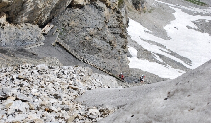
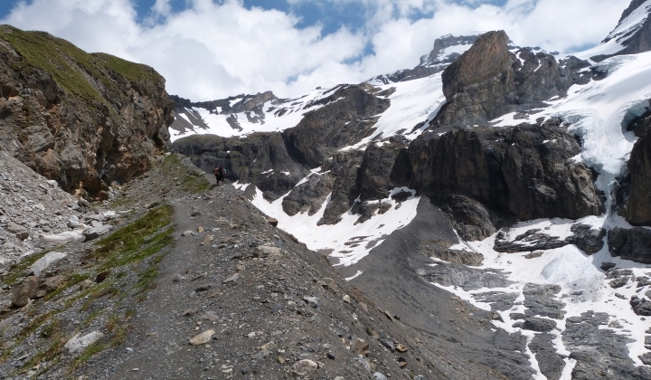
The ascent from Kandersteg is on a well prepared hiking path, marked with white – red – white stripes (Hiking scale T2 (in German only).
Good hiking gear and sure of step are required!
From Kiental
By Road
From Berne direction Thun - Spiez - Reichenbach i. Kandertal - Kiental - Griesalp
From Lucerne direction Brünig - Interlaken - Aeschi bei Spiez - Reichenbach i. Kandertal - Kiental - Griesalp
Parking spaces at the Hotel Griesalp (chargeable) or in the village of Reichenbach i. Kandertal (continuation of the journey with Gerber Taxi).
By Train
For train connections to Reichenbach im Kandertal, check out SBB.
Eventful ride with the Post Bus from Reichenbach i. Kandertal to Griesalp. For individual travellers (1-9 person), it is not possible to make a reservation. For groups of 10 people and more, a reservation is required (no seat guarantee!).
Hike from Griesalp
Griesalp (1400m) - Bundalp (1840m) – Bluemlisalp Hut (2840m)
Griesalp - Untere Bundalp - Obere Bundalp - Wart - Hohtürli – Bluemlisalp Hut
Hiking Time: 4h 30min
Tip: Descent to Oeschinensee - Kandersteg!
See the Hiking map at map.geo.admin.ch.
The ascent from Griesalp is on a well prepared hiking path, marked with white – red – white stripes (Hiking scale T2 (in German only).
Good hiking gear and sure of step are required.